
Mapping data of Ryelands Park has got local historians intrigued this week, with one suggesting an archaeological test dig to see if some ancient site might not be lurking beneath it.
The ARCHI website at archiuk.com seeks to make it easier to unravel the historical stories behind modem maps, including an “Old Map Search” created by Chris Kutler. One useful feature it includes is a a “LiDAR” layer on maps, which displays the results of mapping using Light Detection and Ranging, an active remote sensing technology that uses pulsed laser light to measure distances and build precise, three-dimensional models of objects and environments.
What you see on a LiDAR image is the terrain beneath the vegetation, so, for example, if a row of trees were not there.
On the Friends of Ryelands Park Facebook Page “Da Northerner” notes the LiDAR scan of the Park near Ryelands House is intriguing.
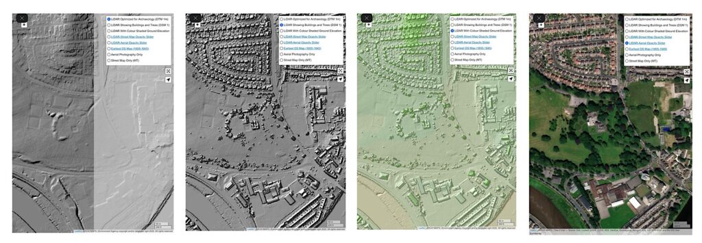
“The House is the small square to bottom right, he notes of the LiDAR image, above, “the squares perhaps the old bowling green, top left, old square buildings. The tree ring is even more prominent than Lancaster’s Roman Walls. Is the an ancient structure underneath, could it be an old colosseum and Ludus fight school?”
However, others differ in their interpretation of the imagery, so perhaps we should not get too excited. Before the House was built, the land was mainly fields, as noted in a separate discussion thread initiated by local historian Andrew Reilly on Lancaster Past and Present, where various people hjave volunteered their services for a test dig should it ever be considered merited.
“The semi circle just used to be bushes encasing the rose gardens,” noted Michelle Marsden. “The squares are where the four bowling greens were, and by them is the cafe and the rectangle was tennis courts, then a little pitch and putt after them.”
There is, as far as we are aware, no historical evidence of a Roman settlement on the Skerton side of the river, but the name comes from Old Norse and Old English roots, meaning “the farmstead or settlement by the reefs or sandbanks” and a settlement is mentioned in the Domesday Book.
Here are larger versions of the layers of maps from ARCHI…
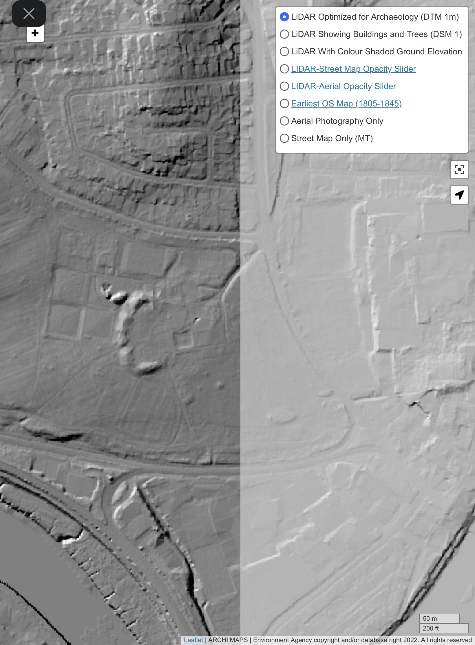

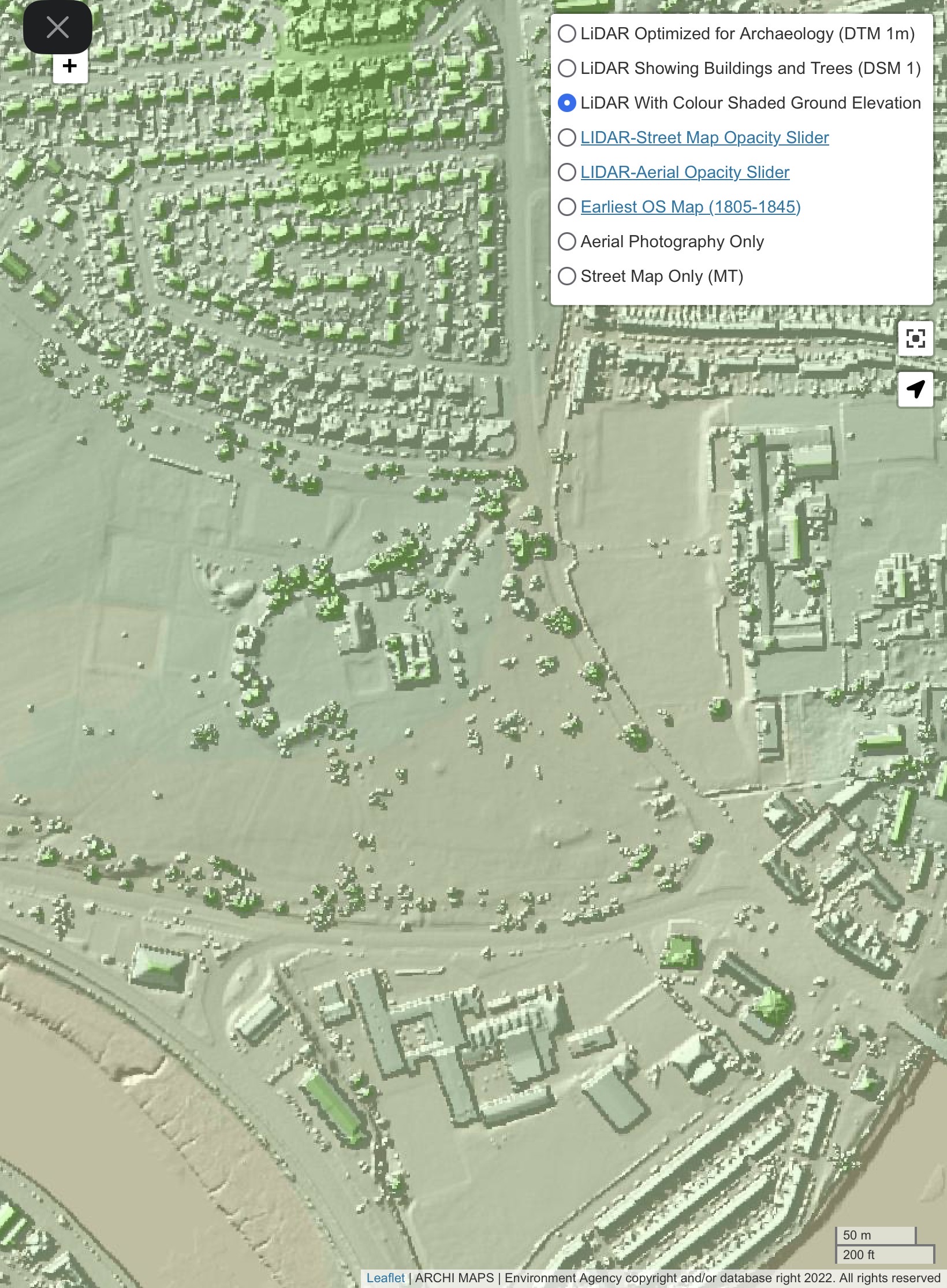

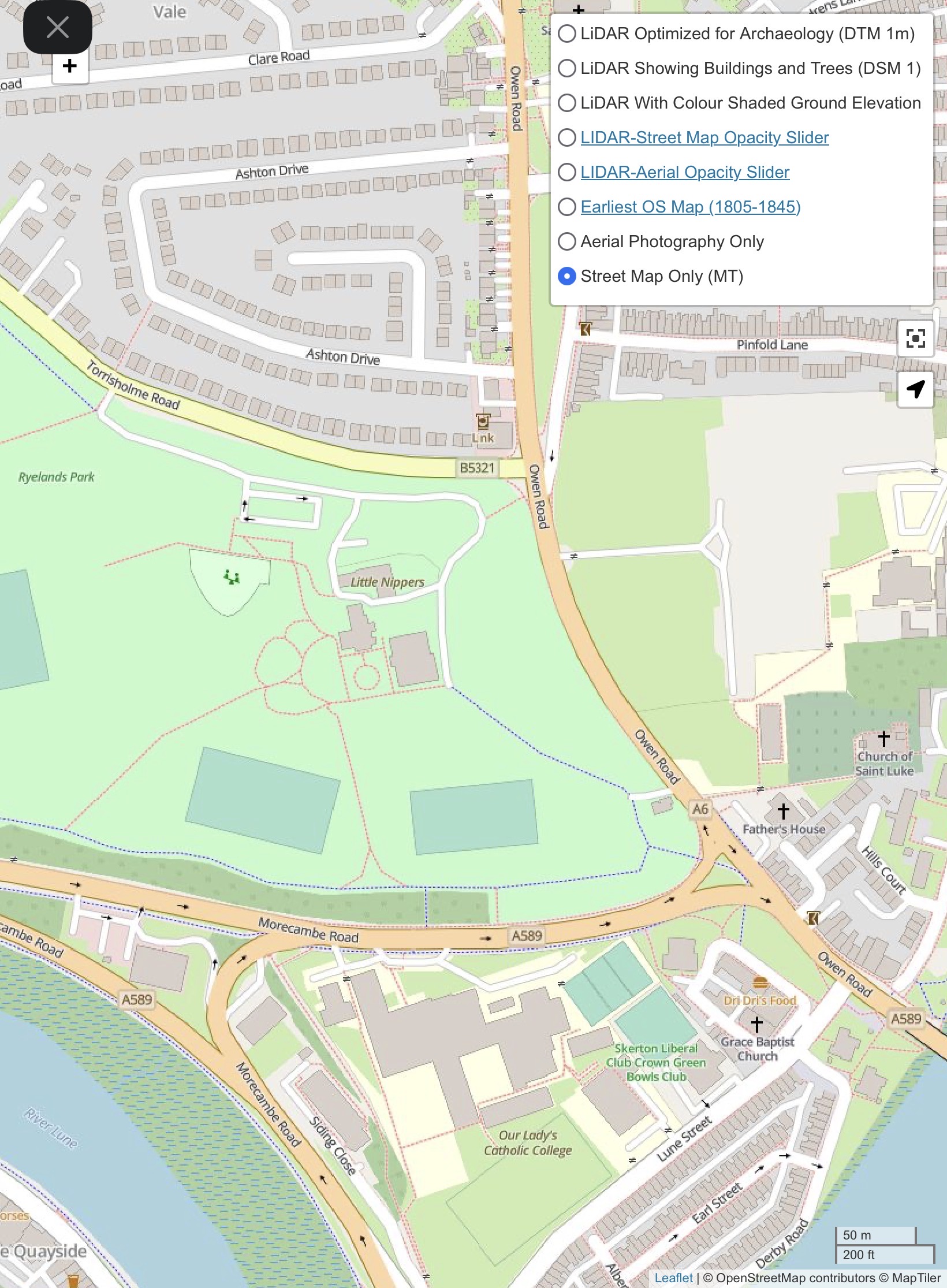
Imagery Copyright © 2024 ARCHI MAPS UK. All rights reserved.
The ARCHI MAPS UK database and all associated content have been developed and curated by ARCHI UK over the past 20 years. The database includes information on archaeological sites, historical locations, and coordinates that have been gathered, compiled, and organized through extensive research, data analysis, and contributions from a variety of public-domain and independently sourced materials.